🚚 Free Worldwide Shipping on All Orders!Shop Now
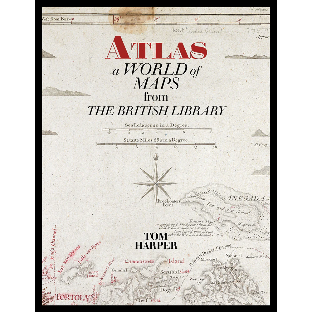
Atlas: A World of Maps from the British Library (New Paperback Edition)
The perfect book for map enthusiasts, art connoisseurs and those interested in the global history told through these objects. This new paperback edition features 100 rare and antique maps from the British Library’s collection, evoked in full colour illustration – including two bespoke maps created especially for the book. The story behind each map is revealed by the commentary from leading experts in antiquarian maps.
From the publication in 1595 of the first ‘atlas’ by the Flemish cartographer Gerhard Mercator, the term has become a universally adopted title for books containing accurate, uniform and evenly spread maps of all or some of the world. This is an atlas with a difference. Few of the maps in this book could reasonably be called ‘accurate’ in the modern sense and could almost certainly not be used to plan a journey. Yet this atlas can help us to travel in a way that regular atlases do not, because by looking at old maps and getting to know their stories we can be transported back to the times in which they were made.
The generous, full-colour illustrations of each map in this large format book range from the Klencke Atlas (1660) to Hokusai’s map of China (1840–41), from a 1682 pirate map of Guatemala to twentieth-century cartographic postcards featuring maps of Australia. Atlas is the definitive printed showcase of the British Library’s extensive and unparalleled map collection.
Originally published in hardback, Atlas: A World of Maps from the British Library is now available in paperback.
Publication date: 08/10/2020
Product Information
Product Information
Shipping & Returns
Shipping & Returns
Atlas: A World of Maps from the British Library (New Paperback Edition)
Atlas: A World of Maps from the British Library (New Paperback Edition)
The perfect book for map enthusiasts, art connoisseurs and those interested in the global history told through these objects. This new paperback edition features 100 rare and antique maps from the British Library’s collection, evoked in full colour illustration – including two bespoke maps created especially for the book. The story behind each map is revealed by the commentary from leading experts in antiquarian maps.
From the publication in 1595 of the first ‘atlas’ by the Flemish cartographer Gerhard Mercator, the term has become a universally adopted title for books containing accurate, uniform and evenly spread maps of all or some of the world. This is an atlas with a difference. Few of the maps in this book could reasonably be called ‘accurate’ in the modern sense and could almost certainly not be used to plan a journey. Yet this atlas can help us to travel in a way that regular atlases do not, because by looking at old maps and getting to know their stories we can be transported back to the times in which they were made.
The generous, full-colour illustrations of each map in this large format book range from the Klencke Atlas (1660) to Hokusai’s map of China (1840–41), from a 1682 pirate map of Guatemala to twentieth-century cartographic postcards featuring maps of Australia. Atlas is the definitive printed showcase of the British Library’s extensive and unparalleled map collection.
Originally published in hardback, Atlas: A World of Maps from the British Library is now available in paperback.
Publication date: 08/10/2020
From the publication in 1595 of the first ‘atlas’ by the Flemish cartographer Gerhard Mercator, the term has become a universally adopted title for books containing accurate, uniform and evenly spread maps of all or some of the world. This is an atlas with a difference. Few of the maps in this book could reasonably be called ‘accurate’ in the modern sense and could almost certainly not be used to plan a journey. Yet this atlas can help us to travel in a way that regular atlases do not, because by looking at old maps and getting to know their stories we can be transported back to the times in which they were made.
The generous, full-colour illustrations of each map in this large format book range from the Klencke Atlas (1660) to Hokusai’s map of China (1840–41), from a 1682 pirate map of Guatemala to twentieth-century cartographic postcards featuring maps of Australia. Atlas is the definitive printed showcase of the British Library’s extensive and unparalleled map collection.
Originally published in hardback, Atlas: A World of Maps from the British Library is now available in paperback.
Publication date: 08/10/2020
$8.99
Original: $25.70
-65%Atlas: A World of Maps from the British Library (New Paperback Edition)—
$25.70
$8.99Product Information
Product Information
Shipping & Returns
Shipping & Returns
Description
The perfect book for map enthusiasts, art connoisseurs and those interested in the global history told through these objects. This new paperback edition features 100 rare and antique maps from the British Library’s collection, evoked in full colour illustration – including two bespoke maps created especially for the book. The story behind each map is revealed by the commentary from leading experts in antiquarian maps.
From the publication in 1595 of the first ‘atlas’ by the Flemish cartographer Gerhard Mercator, the term has become a universally adopted title for books containing accurate, uniform and evenly spread maps of all or some of the world. This is an atlas with a difference. Few of the maps in this book could reasonably be called ‘accurate’ in the modern sense and could almost certainly not be used to plan a journey. Yet this atlas can help us to travel in a way that regular atlases do not, because by looking at old maps and getting to know their stories we can be transported back to the times in which they were made.
The generous, full-colour illustrations of each map in this large format book range from the Klencke Atlas (1660) to Hokusai’s map of China (1840–41), from a 1682 pirate map of Guatemala to twentieth-century cartographic postcards featuring maps of Australia. Atlas is the definitive printed showcase of the British Library’s extensive and unparalleled map collection.
Originally published in hardback, Atlas: A World of Maps from the British Library is now available in paperback.
Publication date: 08/10/2020
From the publication in 1595 of the first ‘atlas’ by the Flemish cartographer Gerhard Mercator, the term has become a universally adopted title for books containing accurate, uniform and evenly spread maps of all or some of the world. This is an atlas with a difference. Few of the maps in this book could reasonably be called ‘accurate’ in the modern sense and could almost certainly not be used to plan a journey. Yet this atlas can help us to travel in a way that regular atlases do not, because by looking at old maps and getting to know their stories we can be transported back to the times in which they were made.
The generous, full-colour illustrations of each map in this large format book range from the Klencke Atlas (1660) to Hokusai’s map of China (1840–41), from a 1682 pirate map of Guatemala to twentieth-century cartographic postcards featuring maps of Australia. Atlas is the definitive printed showcase of the British Library’s extensive and unparalleled map collection.
Originally published in hardback, Atlas: A World of Maps from the British Library is now available in paperback.
Publication date: 08/10/2020